Exploring Basel on foot
There are also boards all over Basel with large maps of the entire city. These are located, for example, at both railway stations, the EuroAirport, the landing stages and the car parks.
You will also find boards at all public transport stops in the canton with map sections showing a smaller radius of your location. On these maps you can quickly see what interesting sights are close by.
In addition to these boards the city also has 70 signposts. The free city map available online and in printed form from the Tourist Information office will also help you find your way.
The five popular walking tours of the old town offered by Basel Tourism are also incorporated into the system and are a great opportunity to stroll around discovering Basel.
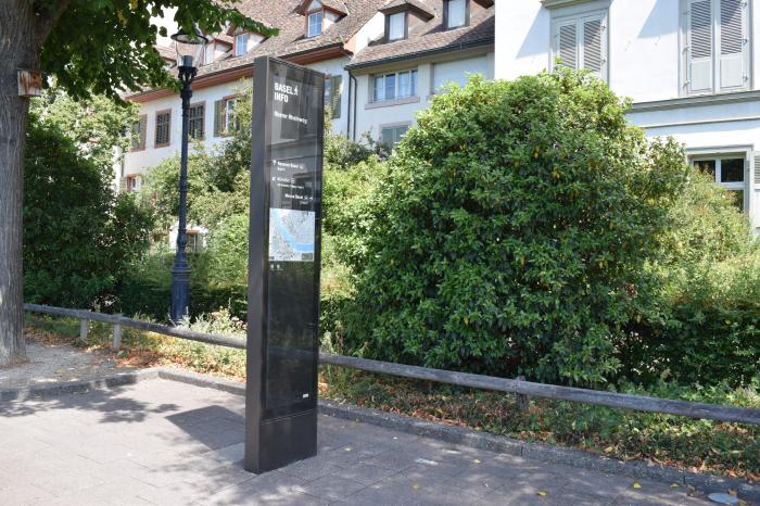
Boards with information and maps